February 27, 2024
Enhancing Success in Water Projects: New Geophysical Research
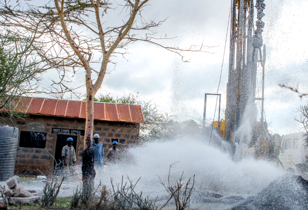
Access to clean drinking water is a basic human right, yet millions in Sub-Saharan Africa still struggle to obtain reliable access. The scarcity of clean water sources leads to health and sanitation issues, particularly affecting women and girls who bear the burden of collecting water from these shallow and easily contaminated sources. Compounding the problem, 60% of water projects in the region fail within the first year due to a lack of technical expertise, ongoing oversight, and community involvement.
In response to these challenges, Well Aware has teamed up with Intera Incorporated and received the prestigious Ron Lantz Stewardship Grant. This grant will combine Well Aware's expertise and established project network with Intera's geophysics background to improve the success and capacity of our water well projects.
By utilizing readily available surface geophysical equipment and techniques, our goal is to collect an extensive database of hydrogeological information that will aid in more efficiently and accurately identifying drilling locations, leading to more successful projects and fewer uncertainties and outliers during the drilling process.
 With Well Aware receiving up to 200 water project requests annually, it is crucial to streamline the qualification process and ensure efficient and successful results. However, due to funding and team capacity constraints, we can only implement around 25 new projects each year. This limitation, combined with the lack of publicly available geological data, makes it challenging to identify the most suitable drilling locations and continue scaling our work. We have identified subsurface characterization and hydrogeological surveys as a critical first step in successful water well drilling, as these surveys provide valuable information about the subsurface and help inform potential drill targets and overall technical designs.
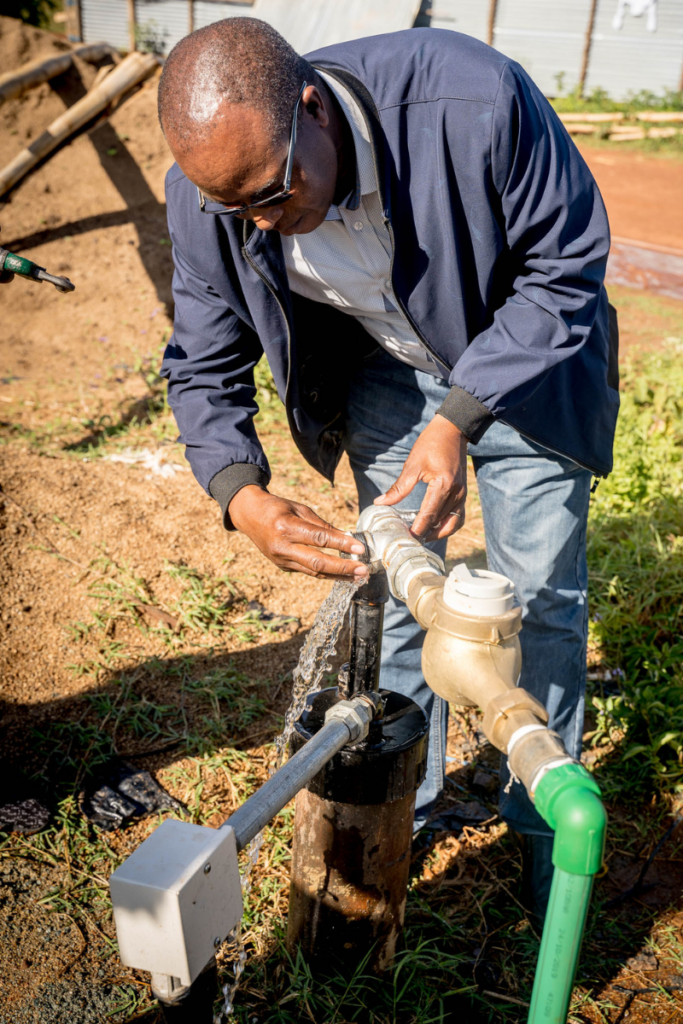
In hydrogeologic environments, electrical resistivity methods have proven to be the most effective technique for locating water. However, with multiple resistivity methods available, the selection of the right instrument becomes crucial, considering factors such as application, price, precision, and reliability in the field. Currently, our Well Aware hydrogeologists, in collaboration with a local contractor, employ a 2-D geophysical survey using the PQWT-S500 instrument to efficiently map the subsurface and locate water sources. This cutting-edge technology helps identify ideal intersection points for geophysical features. To validate the survey results, a 1-D Vertical Electrical Sounding using the ABEM Terrameter SAS 1000 is conducted at the identified coordinates.
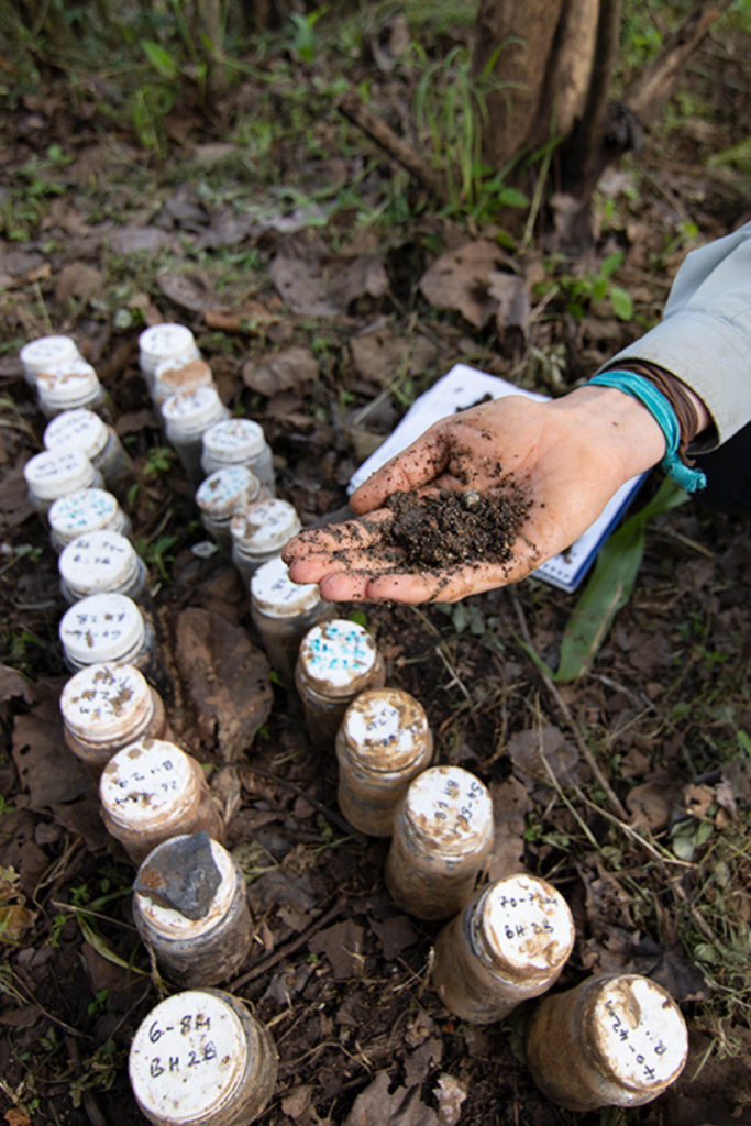 Through a mathematical inversion process during data analysis, we generate a model with inferred geological layers and their respective resistivities. This provides us with a better understanding of the subsurface and aids in determining potential drill targets. For example, a low resistivity suggests the presence of a potential aquifer, making it a drilling target, while a high resistivity indicates a fractured zone possibly filled with air pockets rather than water.
While our current geophysical equipment has served us well in locating water sources, we recognize the inherent limitations in its capabilities. Past drilling experiences and unforeseen variables have underscored the importance of more precise subsurface mapping to enhance our success rates and minimize in-field outliers. Through our grant research and in-field data collection, the overall objective is to test multiple electrical resistivity instruments and create a decision matrix that ranks different geophysical instruments based on the most accurate data collected along with additional factors such as cost-effectiveness, resolution capabilities, suitability for field acquisition and local support in East Africa. By carefully considering and comparing these factors, we will identify the most suitable instruments that align with our goals of precise mapping and successful water exploration, while also creating a rich dataset of hydrogeologically accurate information to guide future project work.
 In early March, Michelle Pedrazas, Intera geoscientist, will be traveling to Kenya to assist the Well Aware team in data collection and in-field analysis. Geofrey Kirwa and Lucy Boyani, Well Aware hydrogeologists, are already hard at work compiling existing subsurface and regional borehole data and identifying equipment needed for our on the ground research. Additionally, in collaboration with esteemed professors from The Colorado School of Mines, we have gained access to a groundbreaking low-cost, direct-current resistivity meter specifically designed for humanitarian geophysics applications. This additional instrument and data set will not only gain us access to this newly developed technology to enhance our subsurface mapping abilities even further, but also leverage the expertise and knowledge of these incredible researchers and professors creating innovative solutions in the industry.
Through this partnership grant with Intera and in collaboration with The Colorado School of Mines, we aim to revolutionize our geophysical practices and optimize our capabilities for identifying and drilling water sources in the most accurate and efficient manner possible. This work would not be possible without the continued support, innovation and partnership of these incredible organizations.
We are so excited to embark on this research and are confident that it will bring a Ripple Effect of positive change to communities in need. Stay tuned for updates on our progress and the transformative impact we hope to achieve!